تحولات پیش رو نشان خواهد داد، اگر دستی زیر ساطور است، برای هر که هست، برای ایران نیست 😉


محمد منصورمقدم
@mqdm_ir
☫ کارشناس ارشد امور کشوری و مدنی وزارت کشور❁ دکترای تخصصی سنجشازدور دانشگاه شهید بهشتی❁ دکترای حرفهای مدیریت اجرایی دانشگاه تهران❁ پژوهشگر و برگزیدهٔ بنیاد ملی نخبگان
Pinned post
@mqdm_ir4 May 2026بازتاب خبری مقالهٔ بینالمللی "خلیج فارس: از نقشههای تاریخی تا تصاویر ماهوارهای" در رسانههای کشور 🇮🇷 درست در بازه زمانی که گزافهگوییهایی در مورد نام زیبای #خلیج_فارس به گوش میرسد...+4خلیج فارس: از نقشههای تاریخی تا تصاویر ماهوارهایجمعی از پژوهشگران از دانشگاه شهید بهشتی و دانشگاه تهران، در مقالهای تازهمنتشرشده، برای اولین بار و بصورت متمرکز، با استناد همزمان به نقشههای تاریخی چند هزارساله و در تلفیق تصاویر ماهوارهای مدرن، نشان دادهاند که خلیج فارس از نظر نام، موقعیت و سا…Show moredoi.orgThe Persian Gulf: from Ancient Maps to Satellite Images.
The Persian Gulf, as a semi-enclosed marginal sea of the Indian Ocean, has long been regarded by historical geographers and cartographers as a distinct geographic phenomenon. This study aims to integrate historical cartographical sources with satellite imagery and geographical information systems (GIS) to investigate the spatial continuity and geographical stability of the Gulf from antiquity to the present.. Historical maps, obtained from the National Cartography Center of Iran (NCC) and the Circle of Ancient Iranian Studies (CAIS) and spanning from classical antiquity to the early modern period, were analyzed to document patterns of geographic depiction and labeling of the Persian Gulf across different cartographic sources. Contemporary geospatial analyses were conducted using 17 Landsat-8 and Landsat-9 scenes to generate a satellite-based mosaic, from which key spatial characteristics including area, maximum length, average width, and coastline distribution in Iran, Iraq, Kuwait, Saudi Arabia, Bahrain, Qatar, the United Arab Emirates, and Oman were derived. In addition, the geometric centroid and Standard Deviational Ellipse (SDE) were calculated to assess the overall spatial configuration and directional distribution of the Persian Gulf. The results indicate a high degree of consistency in the location, extent, and geometric characteristics of the region over time, with a pronounced spatial association along the northern coastline. The close correspondence between historical cartographic representations and satellite-derived spatial metrics highlights the continuity of the geographic feature commonly identified as the Persian Gulf. By linking ancient maps with contemporary remote sensing data, this study provides a spatially explicit perspective on the long-term cartographic representation of the Persian Gulf.
Show this thread
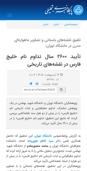
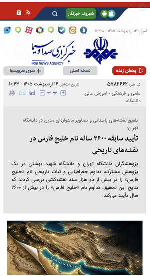
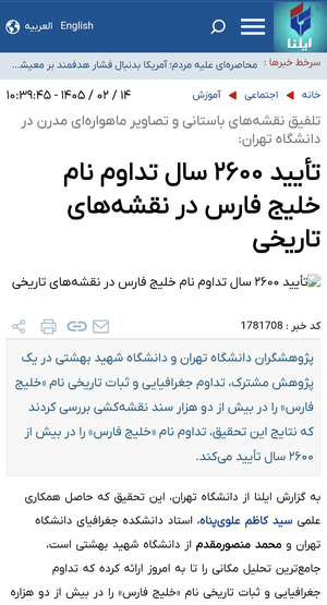
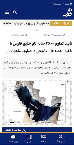
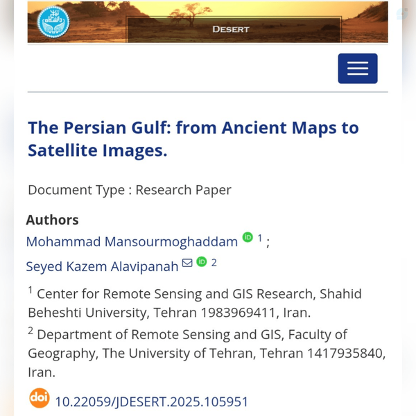
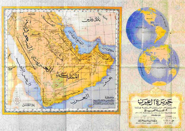
@mqdm_ir27 February 2026خلیج فارس: از نقشههای تاریخی تا تصاویر ماهوارهایجمعی از پژوهشگران از دانشگاه شهید بهشتی و دانشگاه تهران، در مقالهای تازهمنتشرشده، برای اولین بار و بصورت متمرکز، با استناد همزمان به نقشههای تاریخی چند هزارساله و در تلفیق تصاویر ماهوارهای مدرن، نشان دادهاند که خلیج فارس از نظر نام، موقعیت و سا…Show moredoi.orgThe Persian Gulf: from Ancient Maps to Satellite Images.
The Persian Gulf, as a semi-enclosed marginal sea of the Indian Ocean, has long been regarded by historical geographers and cartographers as a distinct geographic phenomenon. This study aims to integrate historical cartographical sources with satellite imagery and geographical information systems (GIS) to investigate the spatial continuity and geographical stability of the Gulf from antiquity to the present.. Historical maps, obtained from the National Cartography Center of Iran (NCC) and the Circle of Ancient Iranian Studies (CAIS) and spanning from classical antiquity to the early modern period, were analyzed to document patterns of geographic depiction and labeling of the Persian Gulf across different cartographic sources. Contemporary geospatial analyses were conducted using 17 Landsat-8 and Landsat-9 scenes to generate a satellite-based mosaic, from which key spatial characteristics including area, maximum length, average width, and coastline distribution in Iran, Iraq, Kuwait, Saudi Arabia, Bahrain, Qatar, the United Arab Emirates, and Oman were derived. In addition, the geometric centroid and Standard Deviational Ellipse (SDE) were calculated to assess the overall spatial configuration and directional distribution of the Persian Gulf. The results indicate a high degree of consistency in the location, extent, and geometric characteristics of the region over time, with a pronounced spatial association along the northern coastline. The close correspondence between historical cartographic representations and satellite-derived spatial metrics highlights the continuity of the geographic feature commonly identified as the Persian Gulf. By linking ancient maps with contemporary remote sensing data, this study provides a spatially explicit perspective on the long-term cartographic representation of the Persian Gulf.
@mqdm_ir18 January 2026وقتی ما به مردم خط نمیدیم، دشمن خط میده وقتی ما برای مردم زمینه مطالبه و اعتراض سالم فراهم نمیکنیم، دشمن هر حرکت مردمی رو به نحو مطلوب خودش مصادره میکنهوقتی ما به مردم بستر مجازی قوی ارائه نمیدیم، دشمن برای مردم بستر مجازی مطلوب خودش رو فراهم میکنه و ازش علیه خودمون استفاده میکنهوقتی ما مرد…Show more
@mqdm_ir18 January 2026سلطنتطلبانِ محتاج مقبولیت، ابتدا خود را پشت مطالبات بحق مردمی قایم کرده و مزدورانشان سعی کردند آن را مصادره کنند که نشد؛سپس به خیال خام خود، برای آنکه مدافعان امنیت را ناامید کنند، با وطنفروشی تمام از بیگانگان التماس کردند تا با حمله به ایران برایشان راه را هموار کنند که این برنامه نیز شکست خورد…Show more
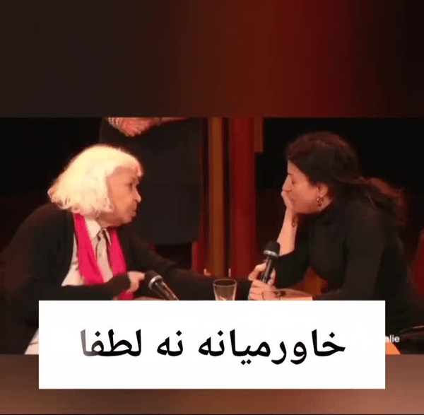
@mqdm_ir3 December 2025ادبیات استعماری☓خاورمیانه✓ غرب آسیا، شمال آفریقا#خاورمیانه #استعمار #غرب9 MB
@mqdm_ir10 October 2025

@mqdm_ir11 September 2025ما برای آنکه بفهمیم عرصه روابط بینالملل، صرفاً عرصه اعتماد نیست، خون دلها خوردهایم...توانِ میدان و هوشِ دیپلماسی باید بصورت حساس، تقویت شده و باهم (و نه علیه هم) به کار گرفته شود؛ فقدان یا اعرج بودن هریک در عرصه بینالملل، پیام ضعف مخابره میکند یا اجماع جهانی به بار میآورد.
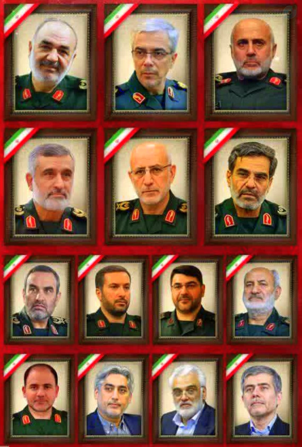
@mqdm_ir9 September 2025باید کشورهای منطقه و بخصوص کشورهای عربی به شعور درک این واقعیت برسند که: آتش از خانهٔ همسایه اگر شعله زند گر نگیری خبرش، نیز به تو سر بزند!این تازه یک نشانه از آتش بزرگتر بود:#اسرائیل_بزرگ #greater_israel
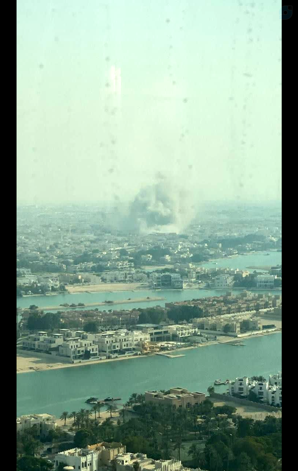
@mqdm_ir1 August 2025حقیقتاً ما نیز بر همین باوریمسوره الإسراء (۴و٧):ما به بنی اسرائيل اعلام كرديم كه دوبار در زمين فساد و برتری جوئی بزرگی خواهيد کرد.. پس هنگام وعده دوم، پیکارگرانی بر شما برمیانگیزیم تا شما را اندوهگین کنند و به مسجد [الاقصی] درآیید، آن گونه که بار اول درآمدید تا هر که و هر چه را به شدت در هم کوبند
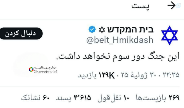
@mqdm_ir31 July 2025#جنگ_روایتهاکشور فوق پیشرفته #عربستانVsکشور عقب افتاده #ایران4 MB
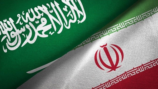
@mqdm_ir27 July 2025من یک سارقِ مسلحِ زورگیرم:الان رسیدم به خونه شما؛چند روز حمله کردن به خونه شما رو به تعویق ميندازم، در عوض شما درب خونهات رو نباید قفل کنی، حق نداری در مقابل من چوب و سلاح برداری، سر طلاهایی که تو خونت داری باید بیای مذاکره کنیم و جای بقیه اموال گرانبهاتم باید مشخص کنی!!!#مذاکره

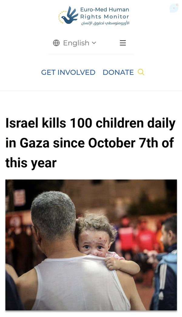
@mqdm_ir12 July 2025بله... ارمغان آزادی اسرائیل:دیدهبان حقوق بشر اروپا-مدیترانه: اسرائیل فقط در یکی از عملیاتهای گسترده خود به غره در ٢٠٢٣، روزانه ۱۰۰ کودک کشت!کودکانی هم که جان سالم به در بردند، یکی یا هر دو والدینشان را از دست داده، خانههایشان در اثر حملات ویران شده یا مجبور به فرار به همراه خانوادهشان شدند.
@mqdm_ir24 June 2025برای رفع نگرانیها، لازم نیست حتما صفر و یکی، تک بعدی و سادهانگارانه فکر کنیم!میتوان در عین حال که خنده بر لب داشت و به دیپلماسی میدان داد، همزمان اقدامات راهبری نیز انجام داد:- اشراف اطلاعاتی بر اقدامات دشمن- شناسایی و رفع نفوذ داخلی- رفع نقاط ضعف و شکنندگی دفاعی- رسیدگی به امور اقتصادی- ?
@mqdm_ir13 June 2025انشاالله، "عید غدیر" را دوبار جشن میگيريمخیبر خیبر یا صهیون#انتقام_سخت#عید_غدیر
@mqdm_ir7 June 2025کاسبان یأس و خود تحقیری، این روزها دکان جدید خون به نرخ روز خوری باز کردهاند و بجای دلداری، ضمن تلاش بر هدایت فضای پیش آمده به مقاصد ضدایدئولوژیک، مرتباً به کلیدواژه "امنیت" نیز اشاره کرده و مغالطه تعمیم میکنند. کلیدواژهای که البته تا دیروز آن را استهزا کرده و دستآورد نمیدانستند.#الهه_حسین_نژاد